 View larger
Land and water poster
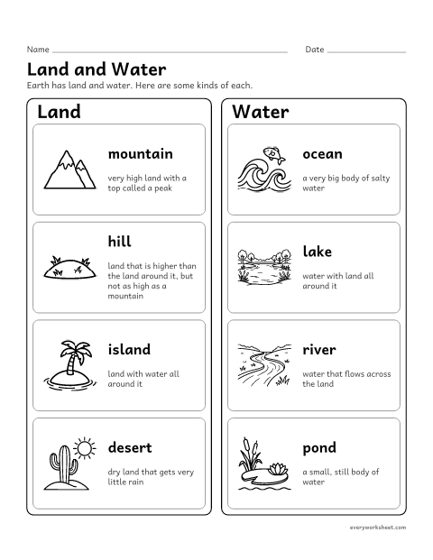
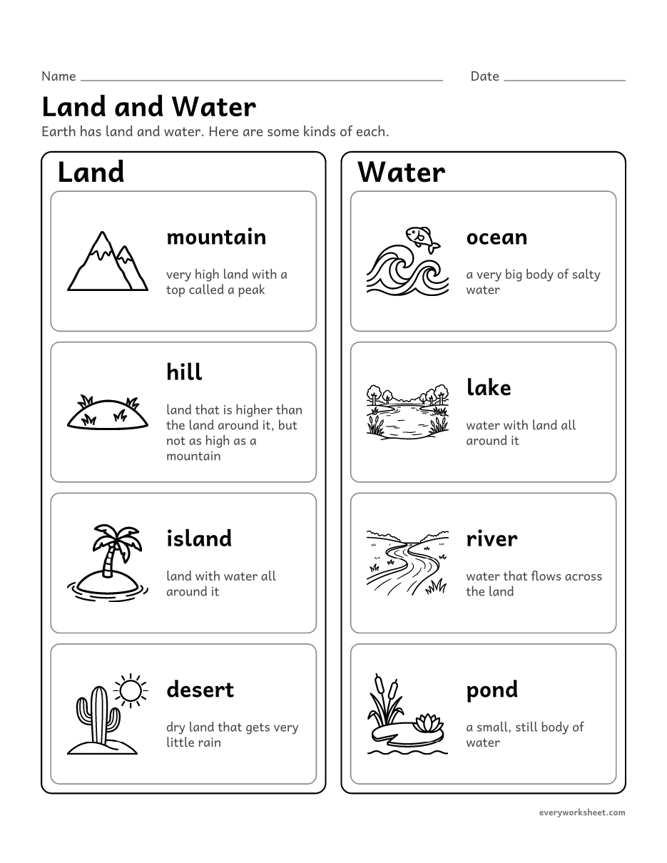
Naming kinds of land (mountain, hill, island, desert) and water (ocean, lake, river, pond)
1 page173 KB
Kinds of land and water, a globe to label and color, an island map, a land or water sort and a simple continents and oceans map, with keys.
View largerNaming kinds of land (mountain, hill, island, desert) and water (ocean, lake, river, pond)
1 page173 KB
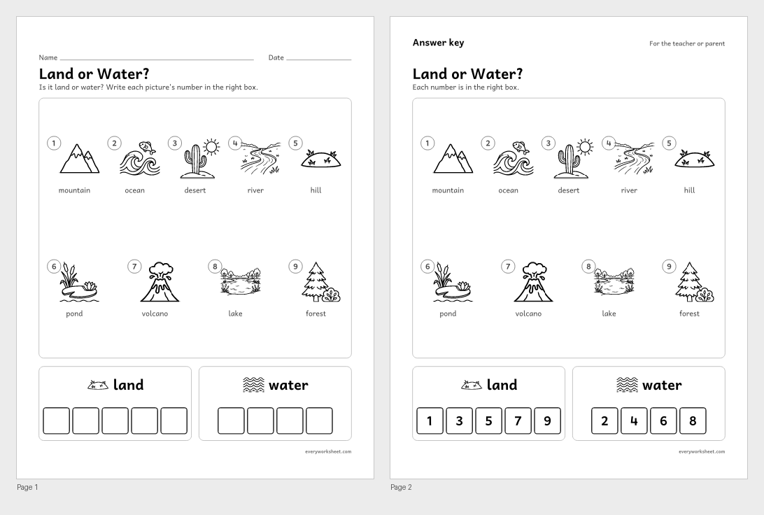 View all 2 pages
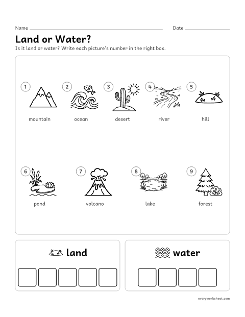
Sorting landforms and bodies of water into land and water
Answer key on page 2
2 pages377 KB
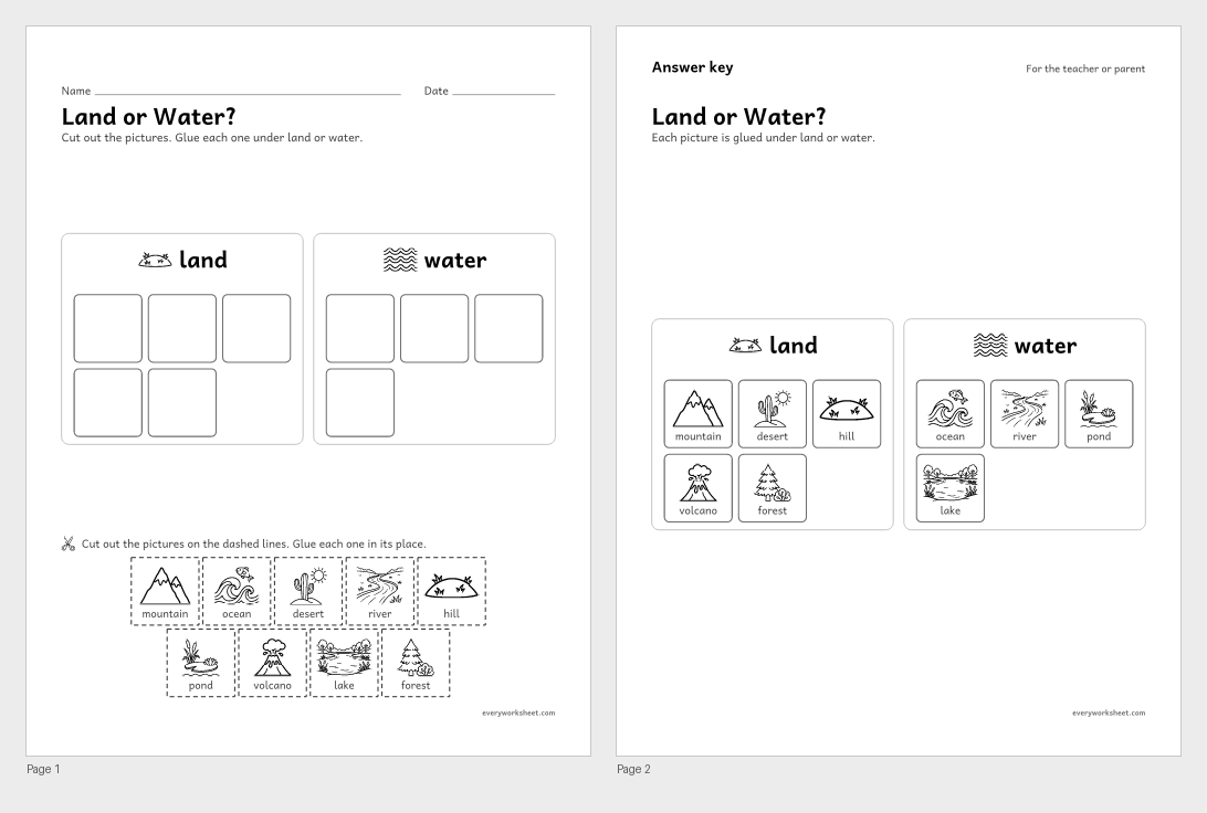 View all 2 pages
Sorting landforms and bodies of water into land and water
Answer key on page 2
2 pages399 KB
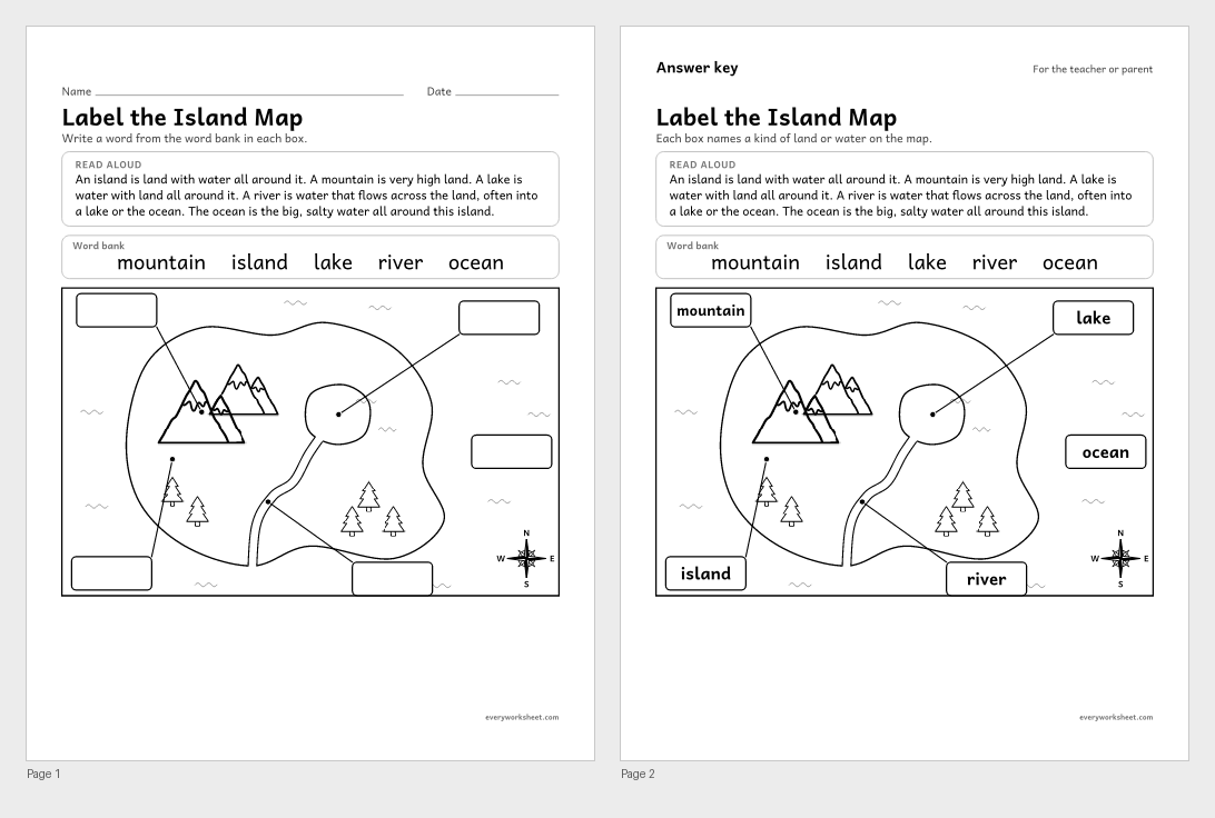 View all 2 pages
Labeling land and water on a simple map: island, mountain, lake, river, ocean
Answer key on page 2
2 pages130 KB
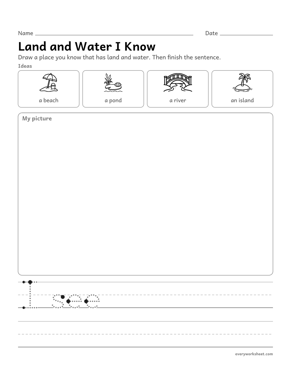 View larger
Drawing and writing about a familiar place with land and water
1 page113 KB
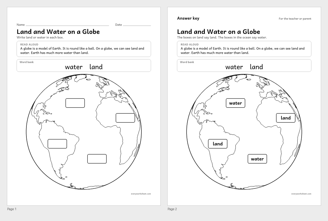 View all 2 pages
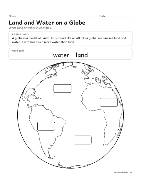
Telling land from water on a globe, a round model of Earth
Answer key on page 2
2 pages65 KB
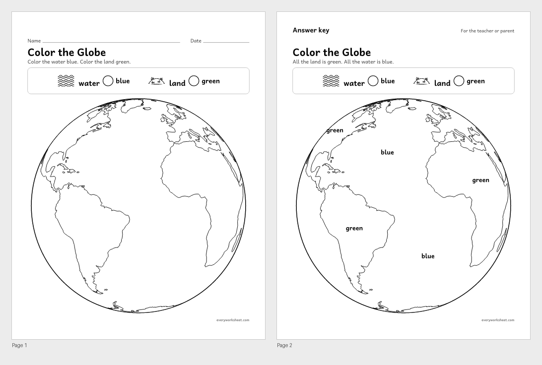 View all 2 pages
Showing land and water on a globe with the usual map colors
Answer key on page 2
2 pages108 KB
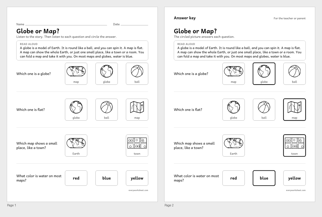 View all 2 pages
Telling a globe from a map and what each one shows
Answer key on page 2
2 pages317 KB
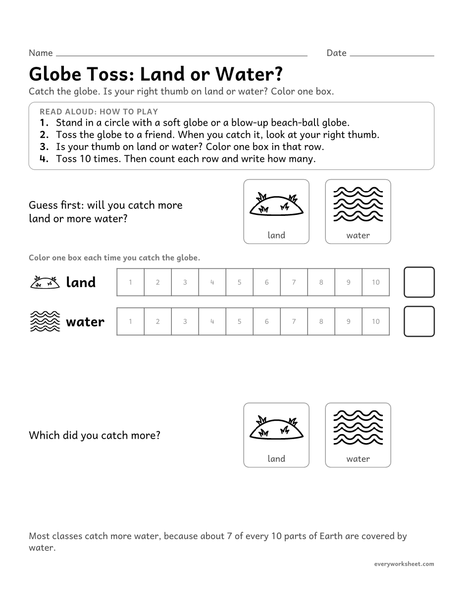 View larger
Collecting and graphing data with a globe to see that Earth has more water than land
1 page107 KB
 View larger
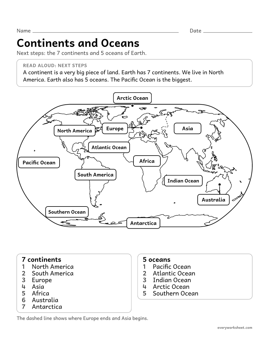
Naming the 7 continents and 5 oceans on a simple world map (a next step after land and water)
1 page67 KB
 View all 2 pages
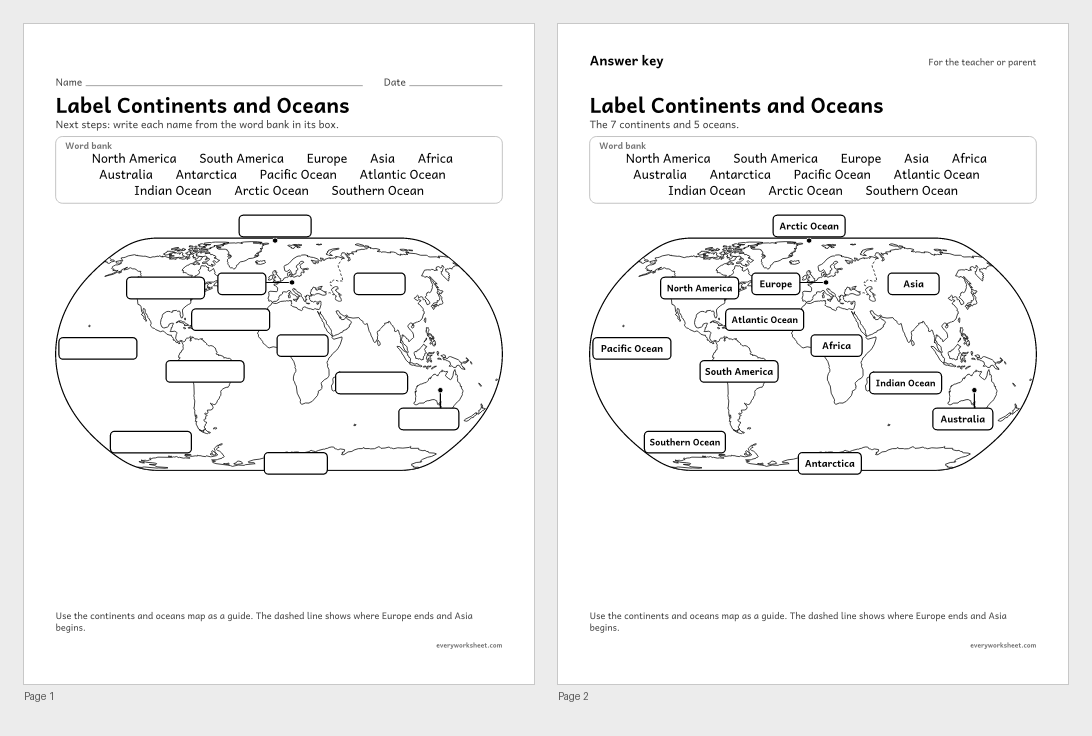
Labeling the 7 continents and 5 oceans on a simple world map (a next step after land and water)
Answer key on page 2
2 pages92 KB
Print at 100% (actual size) for the cleanest tracing lines.
Earth is covered with land and water, and kindergarten is a great time to name them. Land can be a mountain, a hill, an island or a desert. Water can be an ocean, a lake, a river or a pond. These land and water worksheets give children clear pictures to talk about, sort and label.
A globe is a model of Earth, so the globe pages come next. Children label land and water on a globe, color it the way most globes and maps do, and learn how a globe and a map are different. The globe toss graph lets them find out for themselves that Earth has much more water than land.
For children who are ready for more, two next steps pages show the 7 continents and 5 oceans on a simple world map. They are an introduction, not a test: point, say the names, and come back to them later in the year. Every page with one right answer has an answer key on page 2.
C3 D2.Geo.2.K-2Use maps, graphs, photographs, and other representations to describe places and the relationships and interactions that shape them.C3 D2.Geo.3.K-2Use maps, globes, and other simple geographic models to identify cultural and environmental characteristics of places.C3 D2.Geo.6.K-2Identify some cultural and environmental characteristics of specific places.C3 D2.Geo.1.K-2Construct maps, graphs, and other representations of familiar places.CCSS.ELA-LITERACY.L.K.5.ASort common objects into categories (e.g., shapes, foods) to gain a sense of the concepts the categories represent.CCSS.MATH.CONTENT.K.MD.B.3Classify objects into given categories; count the numbers of objects in each category and sort the categories by count.CCSS.ELA-LITERACY.SL.K.2Confirm understanding of a text read aloud or information presented orally or through other media by asking and answering questions about key details and requesting clarification if something is not understood.CCSS.ELA-LITERACY.W.K.2Use a combination of drawing, dictating, and writing to compose informative/explanatory texts in which they name what they are writing about and supply some information about the topic.Good ones to start with are mountain, hill, island and desert for land, and ocean, lake, river and pond for water. Children learn to name each one from a picture and to say whether it is land or water.
Many kindergarten classes are introduced to the 7 continents and 5 oceans, but they are not expected to master them. That is why the continents and oceans pages here are marked next steps. Start with land and water, then point to the continents on the map and say their names together.
A globe is a round model of the whole Earth that you can spin. A map is flat. It can show the whole Earth or just a small place like a town or a room, and you can fold it up and carry it.
Yes. The sort, cut and paste, globe, island map, globe or map and continents and oceans label pages all have an answer key on page 2. The poster, the drawing page and the globe toss graph do not need one.