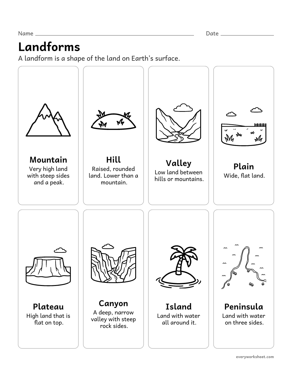
 View larger
Landforms Worksheets for 2nd Grade
Mountains, valleys, plains, plateaus, canyons, islands and peninsulas, bodies of water, a map model to label, and where water is found on Earth.
Download the landforms and bodies of water worksheets
Landforms and bodies of water
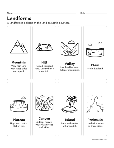 View larger
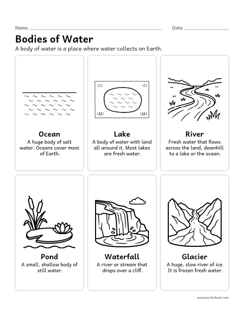 View larger
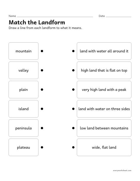 View all 2 pages
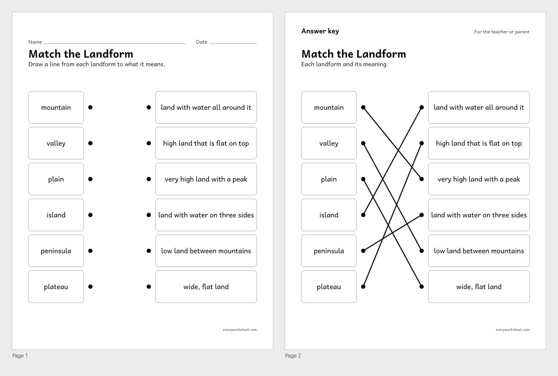
Landforms matching worksheet
Matching landform words to their meanings
Answer key on page 2
2 pages27 KB
 View all 2 pages
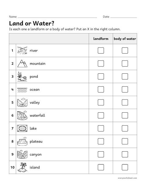
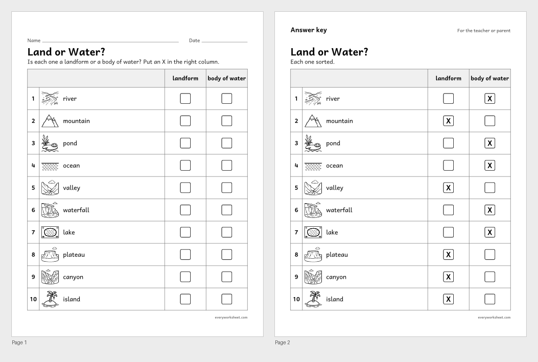
Landform or body of water sort
Sorting landforms and bodies of water
Answer key on page 2
2 pages461 KB
 View all 2 pages
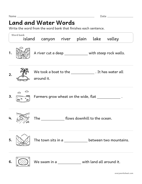
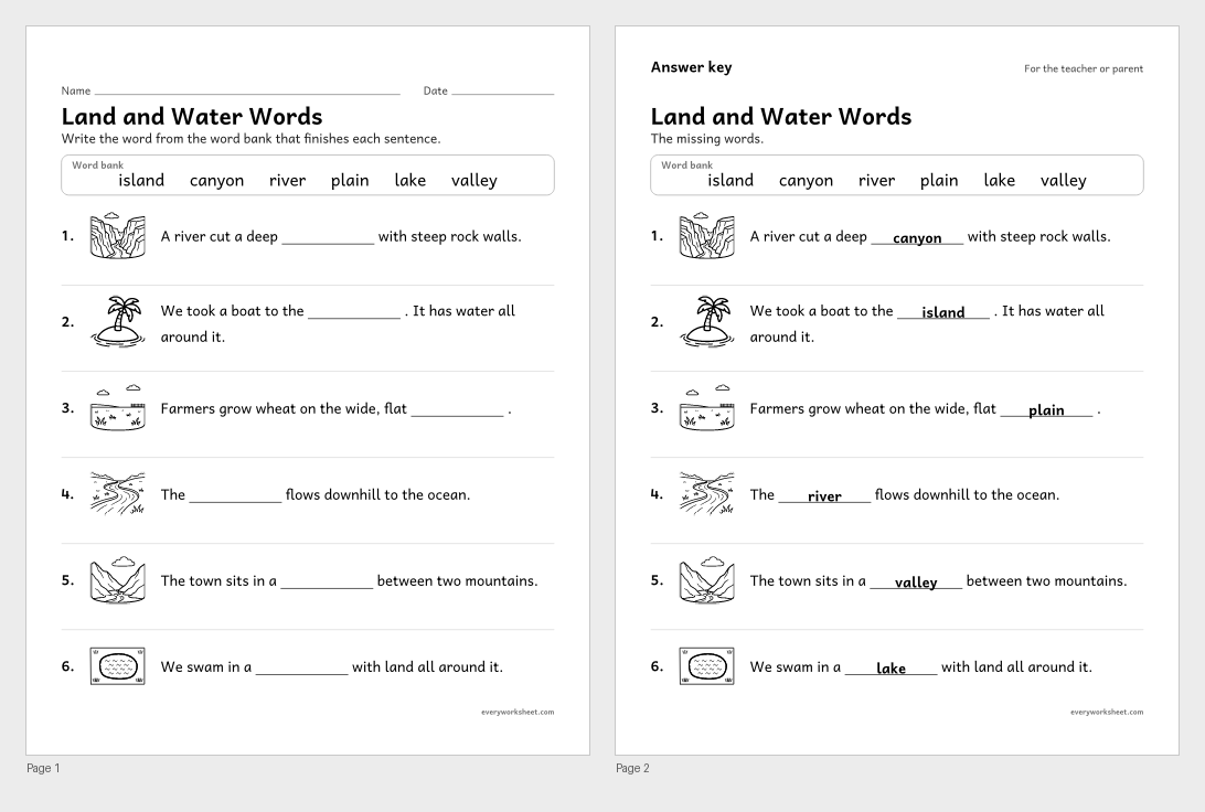
Landforms and bodies of water fill in the blank
Using landform and body of water words in sentences
Answer key on page 2
2 pages313 KB
Map models of land and water
 View all 2 pages
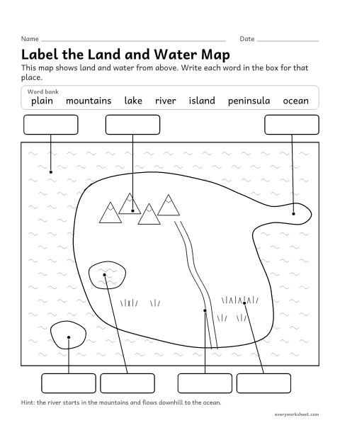
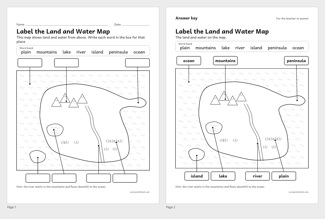
Label the landforms map worksheet
Labeling a map model of land and bodies of water
Answer key on page 2
2 pages45 KB
 View all 2 pages
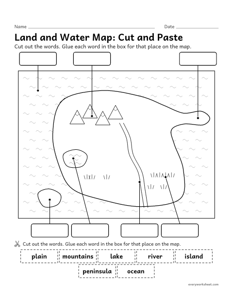
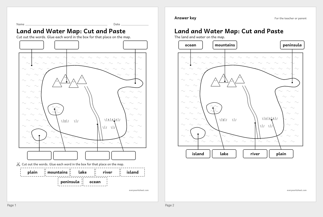
Landforms map cut and paste
Labeling a map model of land and bodies of water
Answer key on page 2
2 pages74 KB
 View larger
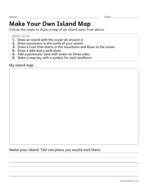
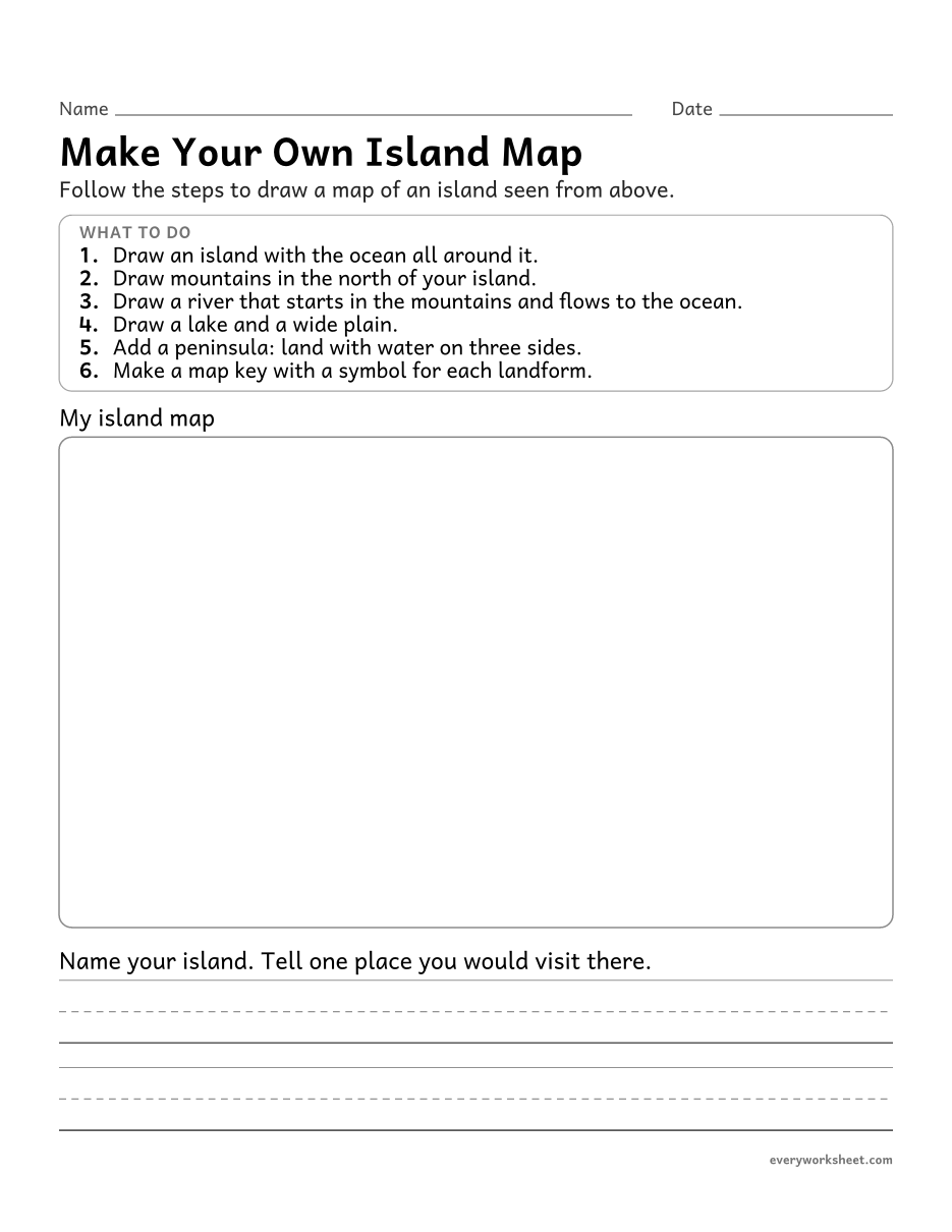
Draw a landforms map worksheet
Drawing a map model that shows kinds of land and bodies of water
1 page30 KB
Where water is found on Earth
 View all 2 pages
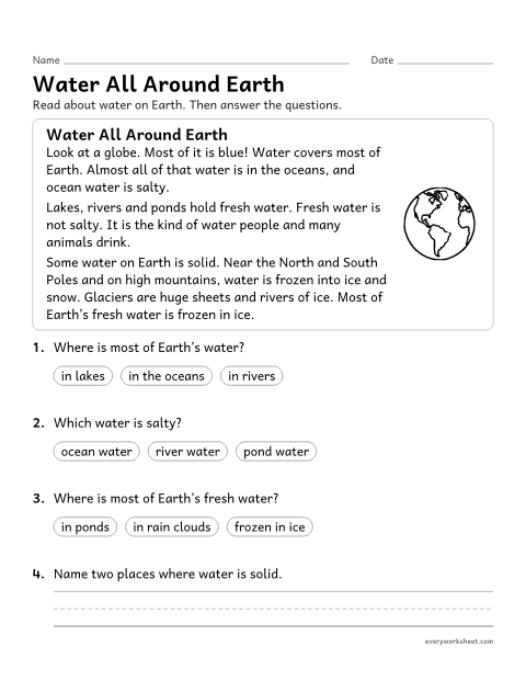
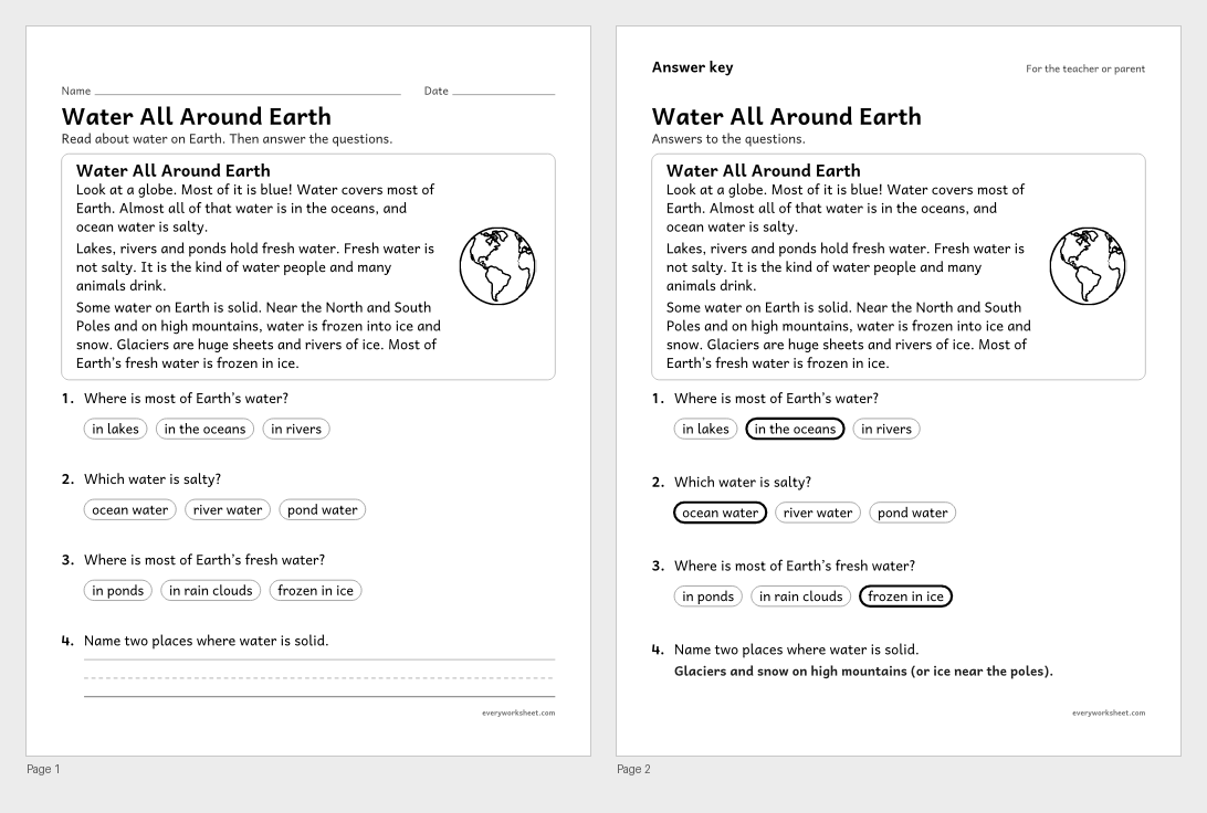
Where is water found on Earth? reading passage
Reading to find out where water is found on Earth and that it can be solid or liquid
Answer key on page 2
2 pages60 KB
 View all 2 pages
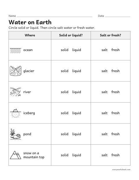
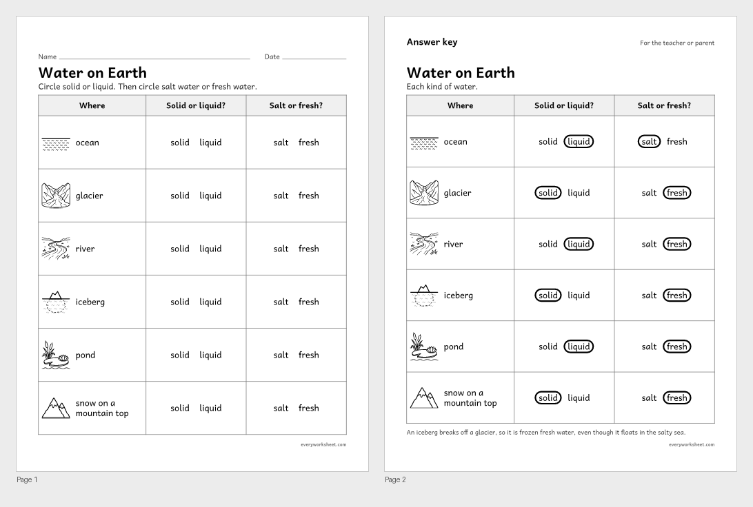
Water on Earth: solid or Liquid, salt or fresh
Identifying where water is found on Earth, and whether it is solid or liquid and salt or fresh
Answer key on page 2
2 pages235 KB
Words and review
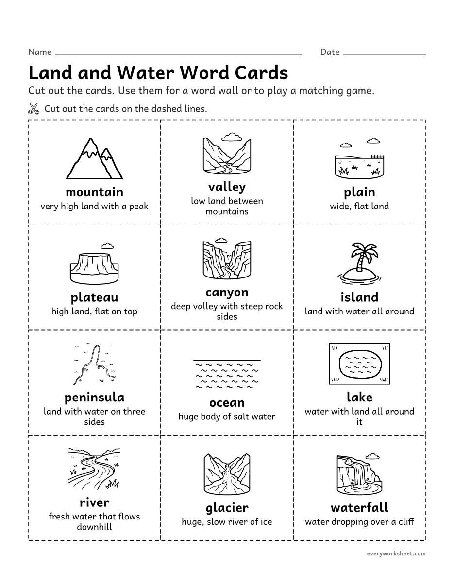
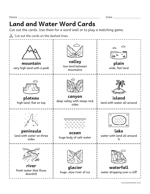 View larger
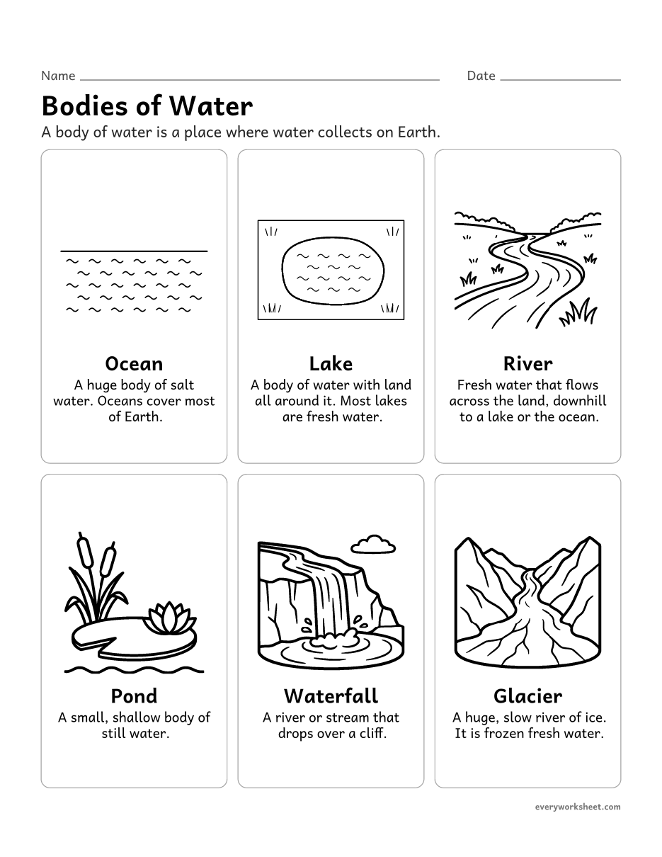
Landforms and bodies of water vocabulary cards
Learning landform and body of water vocabulary
1 page313 KB
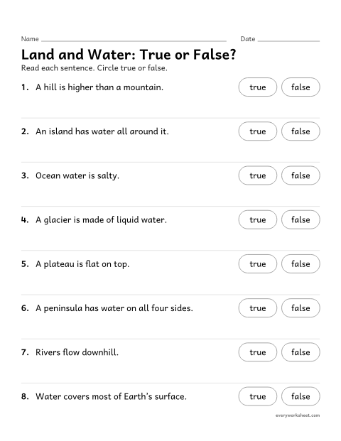 View all 2 pages
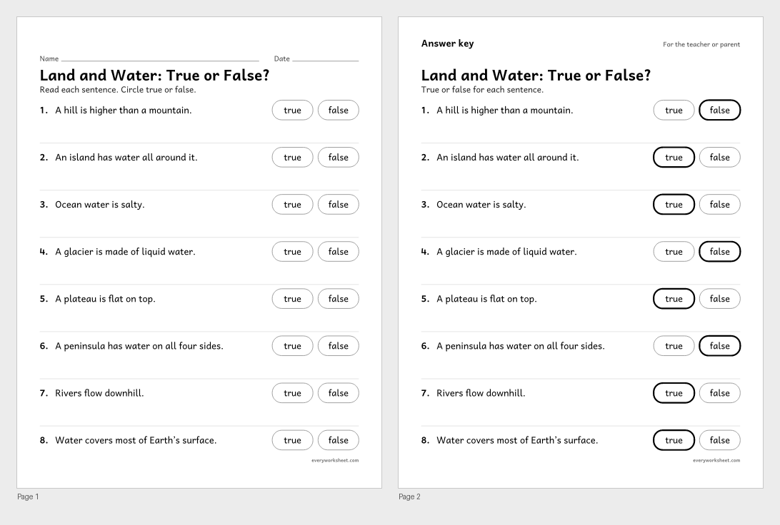
Landforms true or false worksheet
Checking facts about landforms and bodies of water
Answer key on page 2
2 pages44 KB
Print at 100% (actual size) for the cleanest tracing lines.
About these landforms and bodies of water worksheets
Earth’s surface has many shapes. In 2nd grade, children learn the names of common landforms and bodies of water, use a map to show the land and water in an area, and find out where Earth’s water is: mostly in the salty ocean, and much of the fresh water frozen as ice.
These landforms worksheets start with two posters, then practice the words with matching, a land or water sort, a fill in the blank and word cards. A map of an island seen from above lets children label mountains, a river, a lake, a plain, a peninsula and an island, as a word bank page or a cut and paste twin. Children then draw their own island map.
Pages are black and white with short directions a 2nd grader can read. Each prints on US Letter or A4, and every page with right answers has an answer key on page 2.
Standards
NGSS 2-ESS2-2Develop a model to represent the shapes and kinds of land and bodies of water in an area.CCSS.ELA-LITERACY.RI.2.4Determine the meaning of words and phrases in a text relevant to a grade 2 topic or subject area.NGSS 2-ESS2-3Obtain information to identify where water is found on Earth and that it can be solid or liquid.CCSS.ELA-LITERACY.RI.2.1Ask and answer such questions as who, what, where, when, why, and how to demonstrate understanding of key details in a text.
How to use them
- Show the two posters and connect each landform to a place children know: a hill at the park, a nearby river or lake.
- Build landforms from clay or sand on a tray, then label them with the word cards.
- Use the map labeling page or its cut and paste twin, and point out how the river runs downhill from the mountains to the ocean.
- Read the water on Earth passage before the solid or liquid, salt or fresh chart.
- Finish with the island map so children can show everything they learned.
Teaching tips
- A peninsula has water on three sides; an island has water all around. Have children trace the water around each with a finger.
- A plateau is high and flat on top. A plain is low and flat. Both are flat, so compare height.
- Most lakes hold fresh water, but a few, like the Great Salt Lake, are salty.
- Icebergs float in the salty sea but are made of frozen fresh water that broke off glaciers.
- Rivers always flow downhill, toward a lake or the ocean.
Questions teachers and parents ask
What landforms do 2nd graders learn?
Most 2nd grade classes learn mountains, hills, valleys, plains, plateaus, canyons, islands and peninsulas, along with bodies of water such as oceans, lakes, rivers and ponds.
Where is water found on Earth?
Almost all of Earth’s water is in the oceans, and it is salty. Fresh water is in lakes, rivers, ponds and underground, and most of Earth’s fresh water is frozen in glaciers and ice sheets near the poles and on high mountains.
What is a model of land and water?
A map or a 3D model that shows the shapes and kinds of land and water in an area. Our map labeling and island drawing pages are simple models children can make and read.