 View all 2 pages
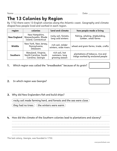
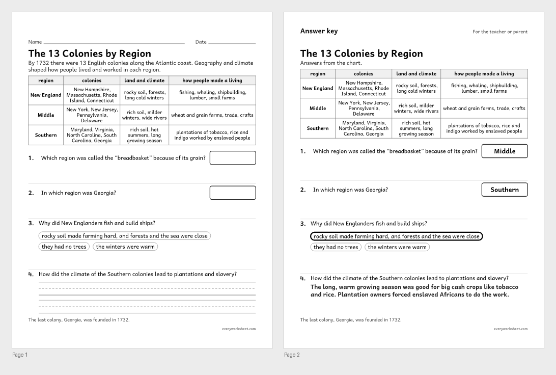
13 colonies Chart: Regions, land and economy
Comparing the New England, Middle and Southern colonies
Answer key on page 2
2 pages47 KB
The New England, Middle and Southern colonies, how geography shaped life and work, Jamestown and the Mayflower Compact, colonial trades, and slavery in the colonies.
View all 2 pagesComparing the New England, Middle and Southern colonies
Answer key on page 2
2 pages47 KB
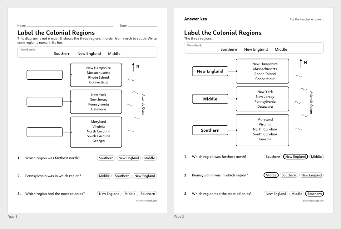 View all 2 pages
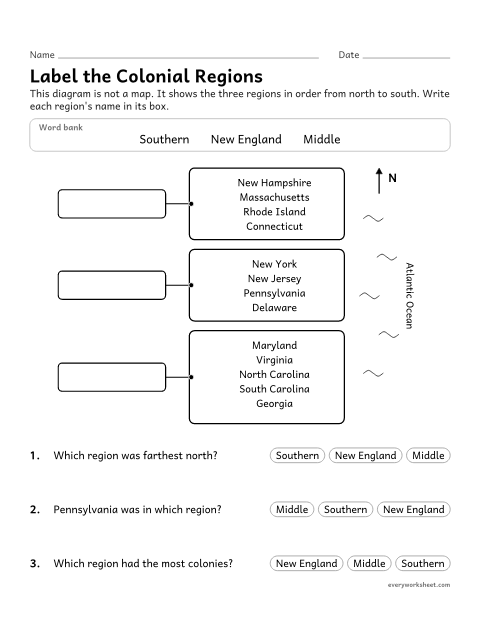
Identifying the three regions of the 13 colonies
Answer key on page 2
2 pages39 KB
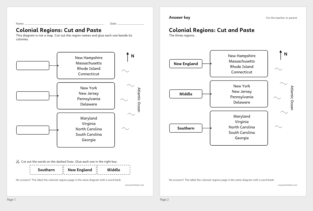 View all 2 pages
Identifying the three regions of the 13 colonies
Answer key on page 2
2 pages61 KB
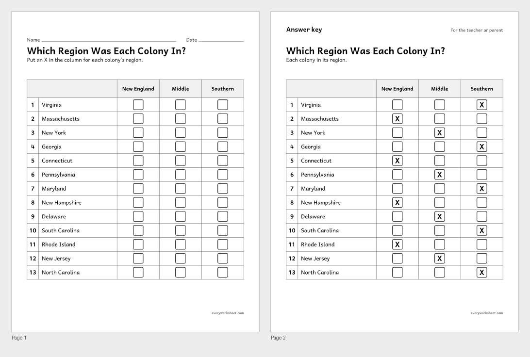 View all 2 pages
Classifying the 13 colonies by region
Answer key on page 2
2 pages55 KB
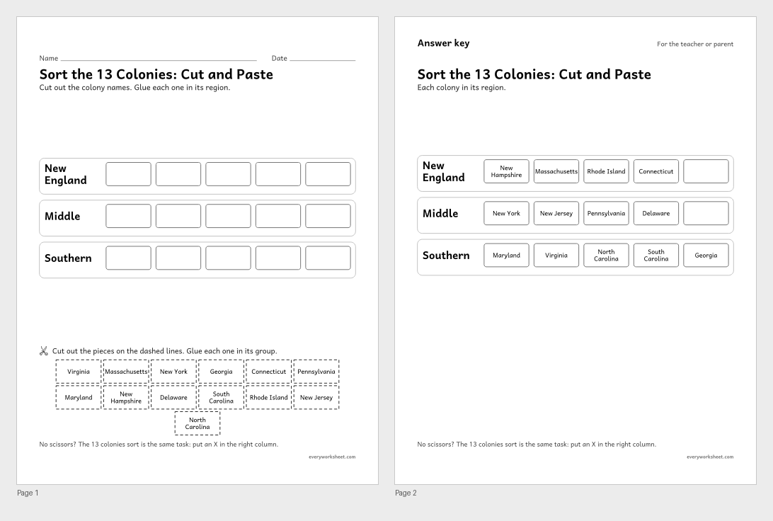 View all 2 pages
Classifying the 13 colonies by region
Answer key on page 2
2 pages62 KB
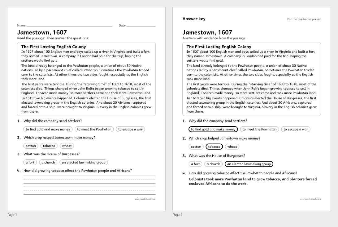 View all 2 pages
Describing the founding of Jamestown and its effects on the Powhatan people and on Africans
Answer key on page 2
2 pages41 KB
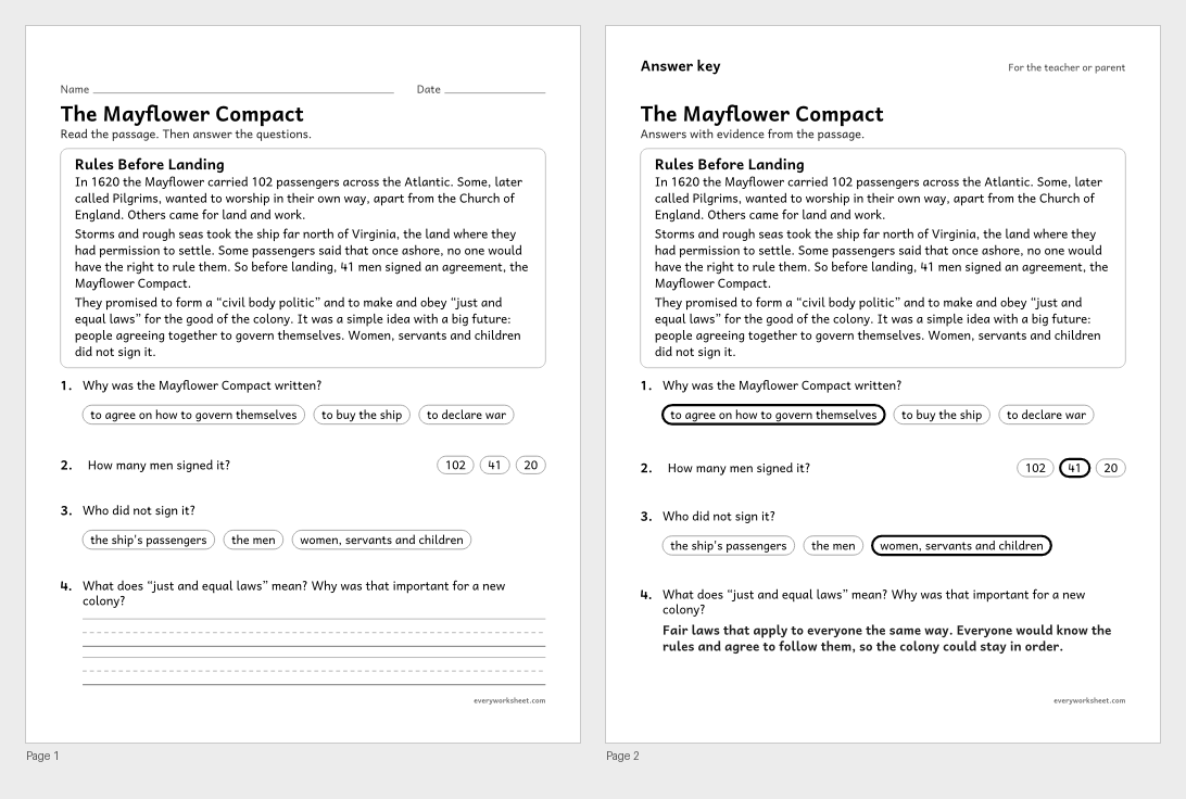 View all 2 pages
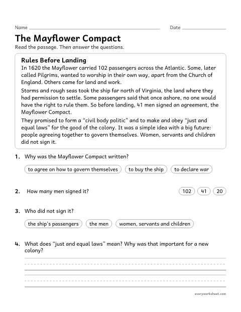
Explaining the Mayflower Compact as an early agreement for self-government
Answer key on page 2
2 pages41 KB
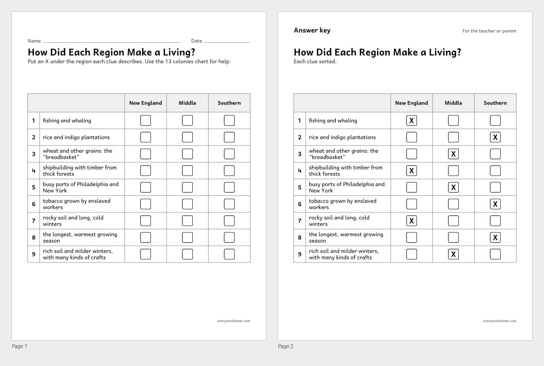 View all 2 pages
Linking each colonial region's geography to its economy
Answer key on page 2
2 pages49 KB
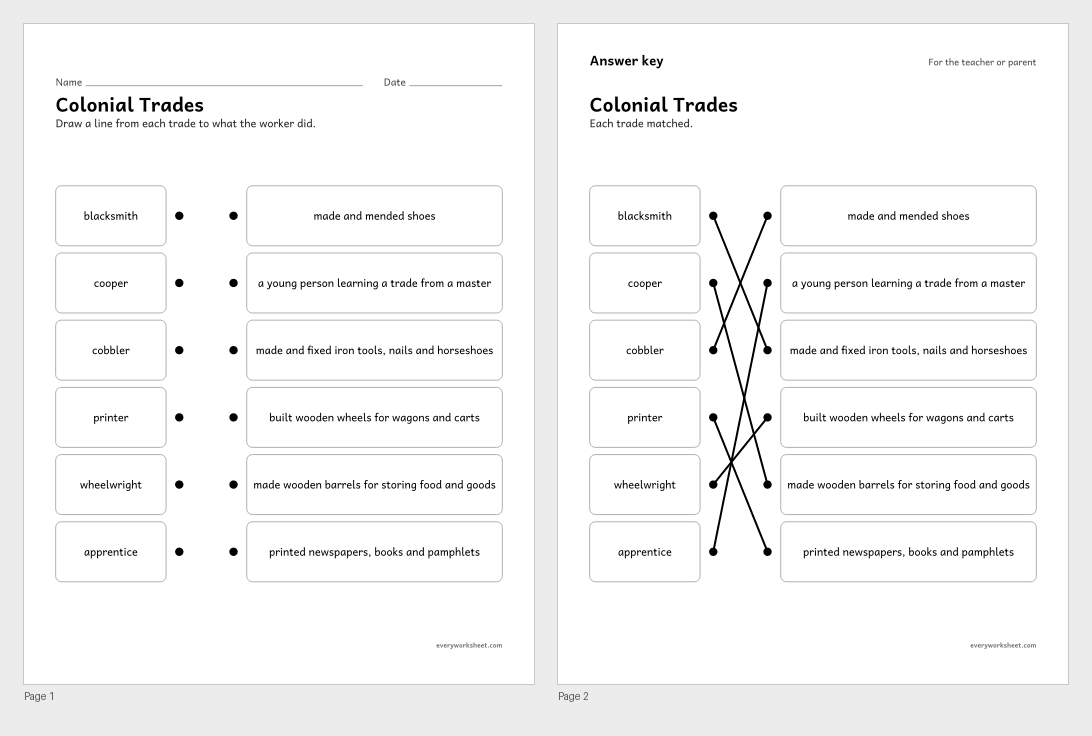 View all 2 pages
Describing jobs in colonial towns
Answer key on page 2
2 pages27 KB
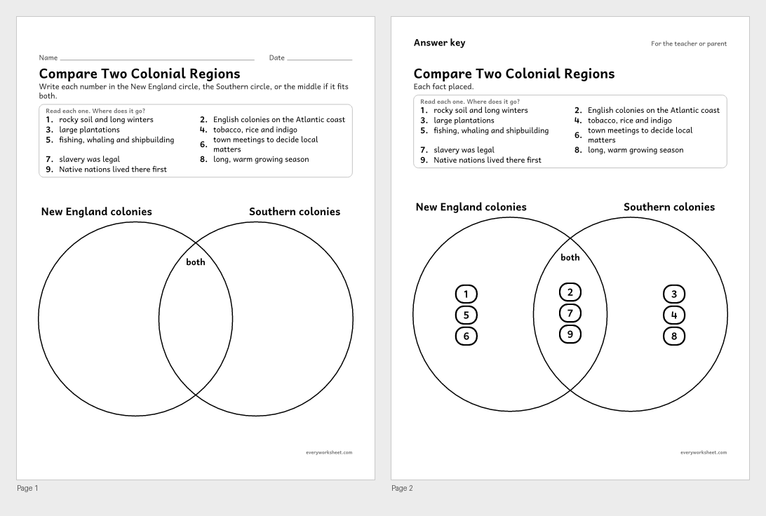 View all 2 pages
Comparing life in the New England and Southern colonies
Answer key on page 2
2 pages42 KB
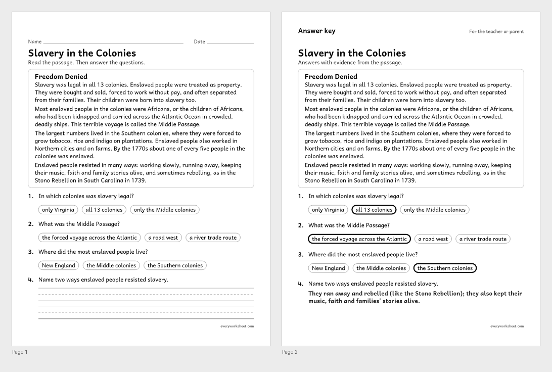 View all 2 pages
Describing slavery in the colonies and how enslaved people resisted it
Answer key on page 2
2 pages41 KB
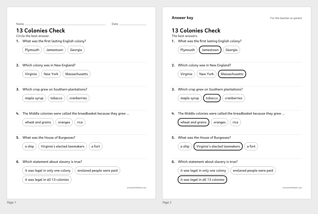 View all 2 pages
Reviewing the 13 colonies, their regions and colonial life
Answer key on page 2
2 pages39 KB
Print at 100% (actual size) for the cleanest tracing lines.
Between 1607 and 1732, England founded 13 colonies along the Atlantic coast, on land that was already home to many Native nations. Geography and climate shaped each region: fishing and shipbuilding in New England, grain farms and trade in the Middle colonies, and plantations worked by enslaved Africans in the South.
These 13 colonies worksheets use a chart and a simple schematic of the three regions rather than a detailed map. Children label and sort the colonies (with cut and paste twins), read about Jamestown and the Mayflower Compact, sort clues about colonial economies, match colonial trades, compare New England and the Southern colonies, and read plainly about slavery in the colonies.
Every page is black and white, prints on US Letter or A4, and every page with right answers has an answer key on page 2.
C3 D2.Geo.2.3-5Use maps, satellite images, photographs, and other representations to explain relationships between the locations of places and regions and their environmental characteristics.C3 D2.His.14.3-5Explain probable causes and effects of events and developments.C3 D2.Civ.5.3-5Explain the origins, functions, and structure of different systems of government, including those created by the U.S. and state constitutions.C3 D2.Geo.8.3-5Explain how human settlements and movements relate to the locations and use of various natural resources.C3 D2.His.2.3-5Compare life in specific historical time periods to life today.New England: New Hampshire, Massachusetts, Rhode Island and Connecticut. Middle: New York, New Jersey, Pennsylvania and Delaware. Southern: Maryland, Virginia, North Carolina, South Carolina and Georgia.
These pages use a simple schematic of the three regions instead of a map. Use a wall map or atlas alongside them.
Plainly and factually: slavery was legal in all 13 colonies, enslaved Africans were forced across the Atlantic, and enslaved people resisted in many ways.