 View larger
The coordinate plane
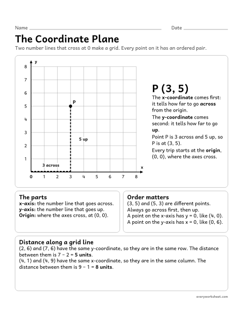
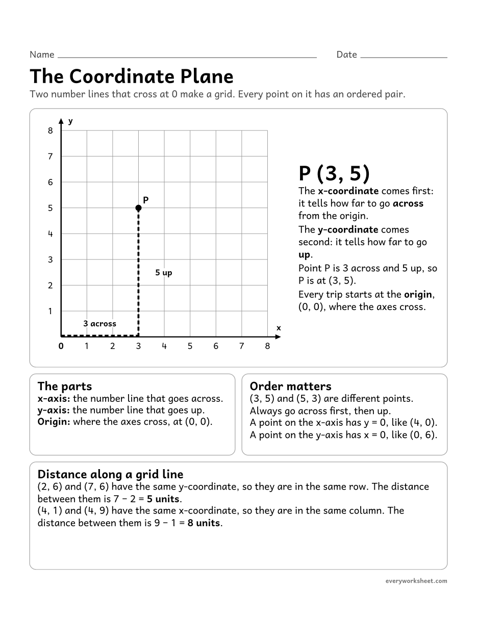
The parts of the coordinate plane: the x-axis, the y-axis, the origin and ordered pairs, and how to plot a point
1 page35 KB
A coordinate plane chart, blank grid paper, reading and plotting ordered pairs, shapes, distances, a mystery picture, a map and a graph. With keys.
View largerThe parts of the coordinate plane: the x-axis, the y-axis, the origin and ordered pairs, and how to plot a point
1 page35 KB
 View larger
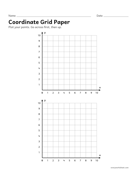
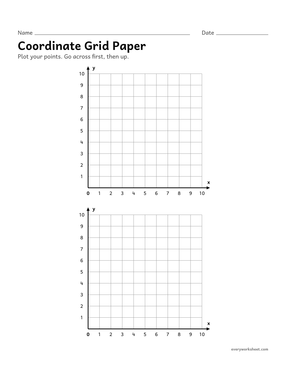
Two blank first-quadrant coordinate grids from 0 to 10 for plotting points
1 page27 KB
 View larger
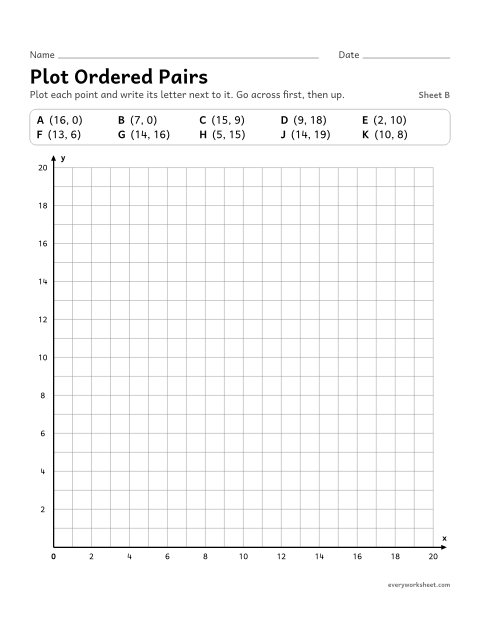
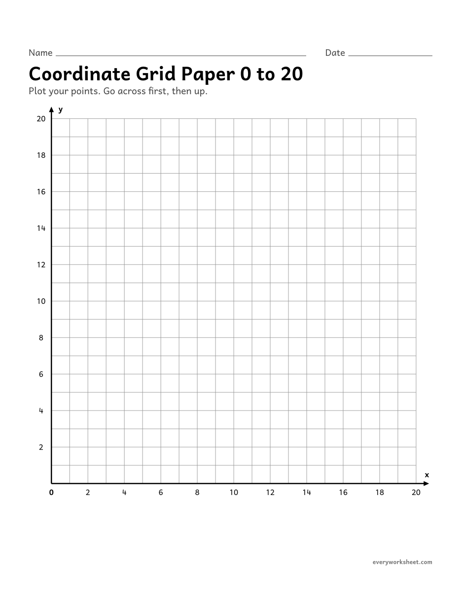
A blank first-quadrant coordinate grid from 0 to 20 for plotting points and graphs
1 page26 KB
 View all 2 pages
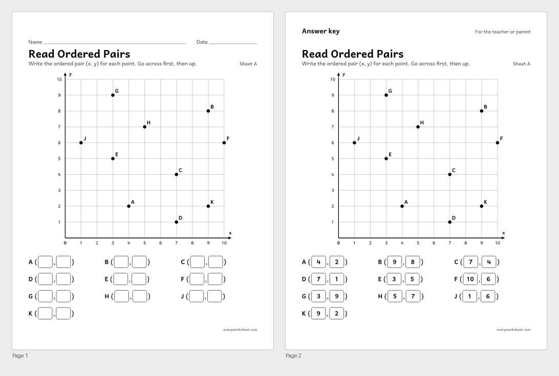
Writing the ordered pair (x, y) for points on a coordinate grid from 0 to 10
Answer key on page 2
2 pages41 KB
 View all 2 pages
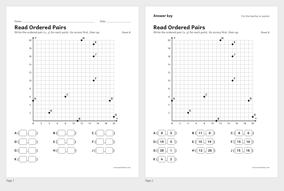
Writing ordered pairs for points on a grid from 0 to 20, including points on the axes
Answer key on page 2
2 pages41 KB
 View all 2 pages
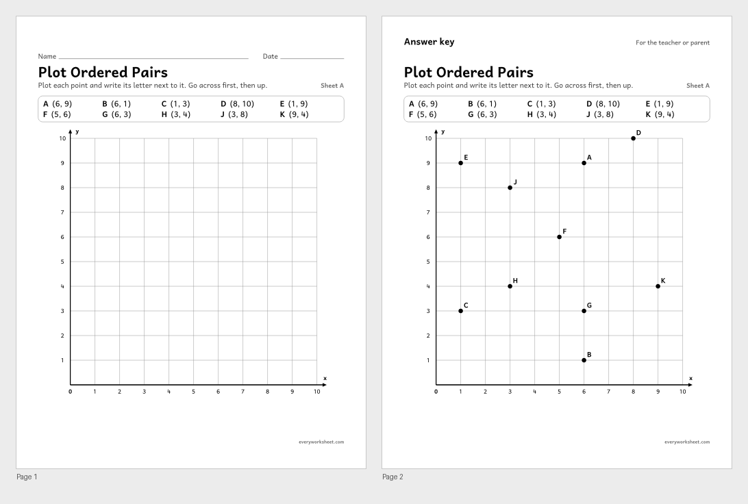
Plotting and labeling points from ordered pairs on a coordinate grid from 0 to 10
Answer key on page 2
2 pages40 KB
 View all 2 pages
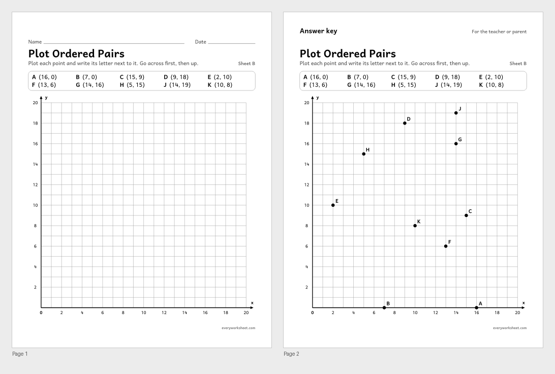
Plotting points on a grid from 0 to 20, including points on the x-axis and the y-axis
Answer key on page 2
2 pages40 KB
 View all 2 pages
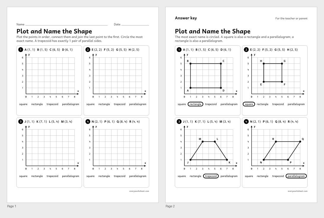
Plotting the vertices of a shape from ordered pairs, connecting them and naming the shape
Answer key on page 2
2 pages52 KB
 View all 2 pages
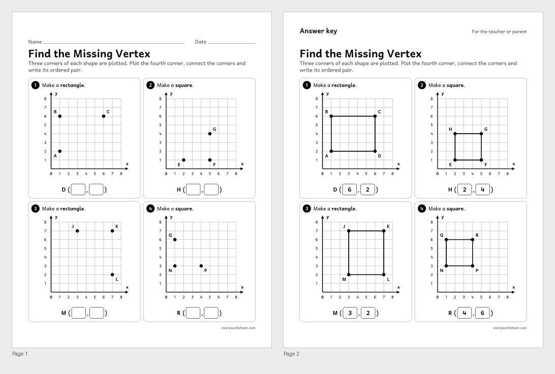
Finding the fourth vertex of a rectangle or square on a coordinate grid and writing its ordered pair
Answer key on page 2
2 pages47 KB
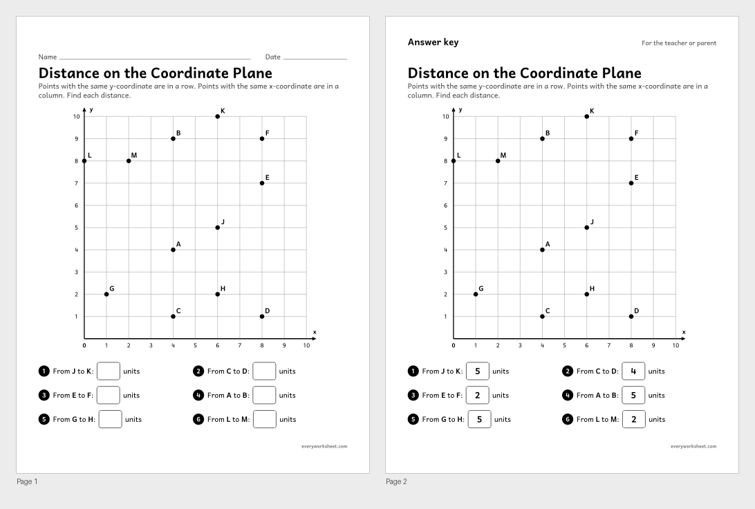 View all 2 pages
Finding the distance between two points that share an x-coordinate or a y-coordinate by counting or subtracting
Answer key on page 2
2 pages44 KB
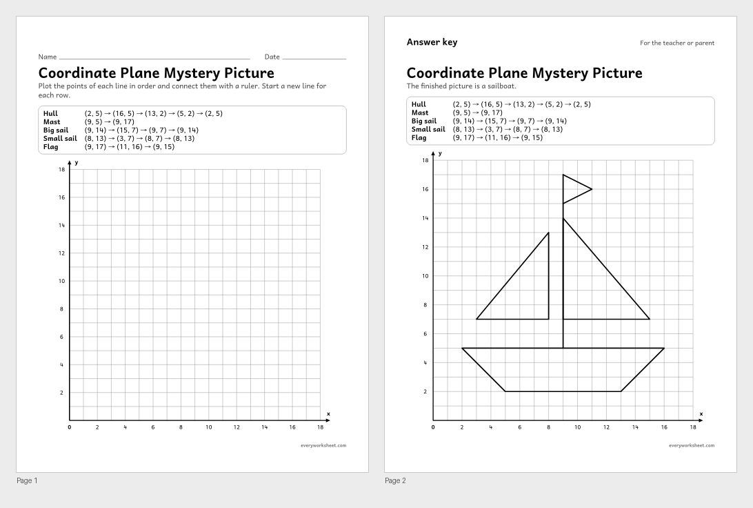 View all 2 pages
Plotting ordered pairs in order and connecting them with straight lines to draw a picture
Answer key on page 2
2 pages37 KB
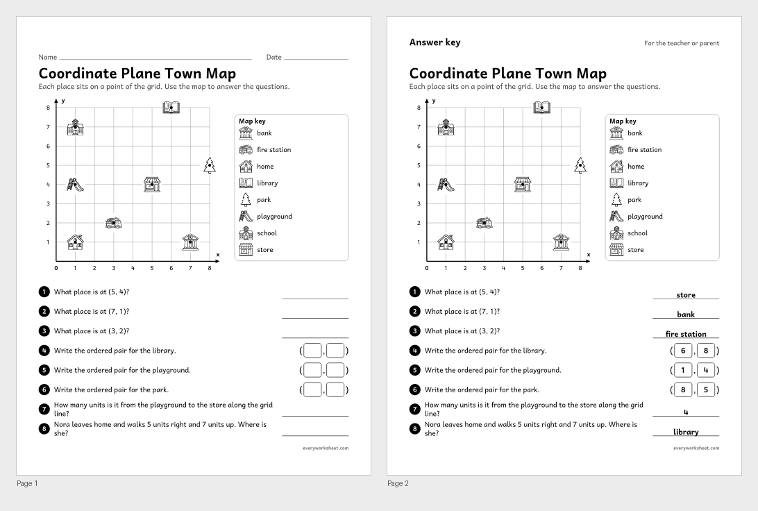 View all 2 pages
Reading and writing ordered pairs for places on a town map, and finding distances along the grid
Answer key on page 2
2 pages601 KB
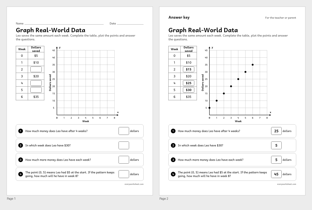 View all 2 pages
Completing a table, graphing it as ordered pairs and reading the graph to answer questions about savings
Answer key on page 2
2 pages47 KB
Print at 100% (actual size) for the cleanest tracing lines.
The coordinate plane is a grid made by two number lines that cross at 0. The line that goes across is the x-axis, the line that goes up is the y-axis, and the point where they cross is the origin, (0, 0). Every point has an ordered pair: the first number says how far to go across, and the second says how far to go up. The point (3, 5) is 3 across and 5 up.
Order matters: (3, 5) and (5, 3) are different points. A point on the x-axis has a y-coordinate of 0, like (4, 0). Two points with the same y-coordinate are in the same row, so the distance between (2, 6) and (7, 6) is 7 − 2 = 5 units.
These worksheets cover the first quadrant: a chart, blank grid paper from 0 to 10 and 0 to 20, reading and plotting points, plotting and naming shapes, finding a missing vertex, distances, a mystery picture, a town map and graphing a real-world pattern. Every point sits exactly on a grid crossing, and every practice page has an answer key.
CCSS.MATH.CONTENT.5.G.A.1Use a pair of perpendicular number lines, called axes, to define a coordinate system, with the intersection of the lines (the origin) arranged to coincide with the 0 on each line and a given point in the plane located by using an ordered pair of numbers, called its coordinates. Understand that the first number indicates how far to travel from the origin in the direction of one axis, and the second number indicates how far to travel in the direction of the second axis, with the convention that the names of the two axes and the coordinates correspond (e.g., x-axis and x-coordinate, y-axis and y-coordinate).CCSS.MATH.CONTENT.5.G.A.2Represent real world and mathematical problems by graphing points in the first quadrant of the coordinate plane, and interpret coordinate values of points in the context of the situation.The x-coordinate, which tells how far to go across from the origin. The y-coordinate comes second and tells how far to go up.
The part of the coordinate plane where both coordinates are 0 or more. It is the only part used in 5th grade.