 View larger
Continents and oceans map for 1st grade
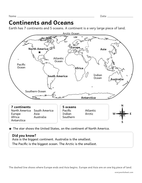
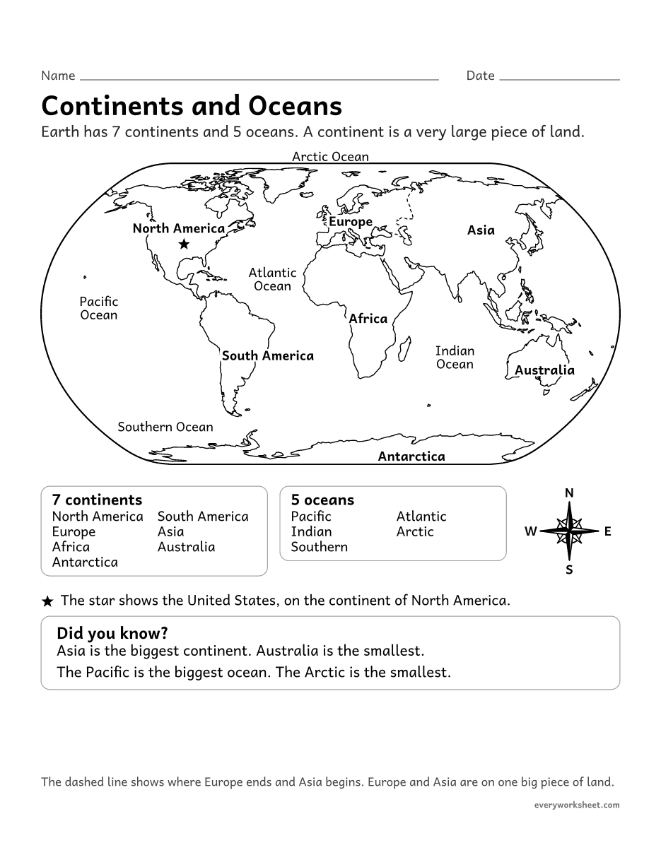
Naming and locating the 7 continents and 5 oceans on a world map
1 page63 KB
A labeled world map, label the continents and oceans, color the continents, cut and paste, reading passages, riddles, a bar graph and a word search.
View largerNaming and locating the 7 continents and 5 oceans on a world map
1 page63 KB
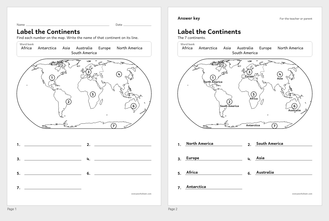 View all 2 pages
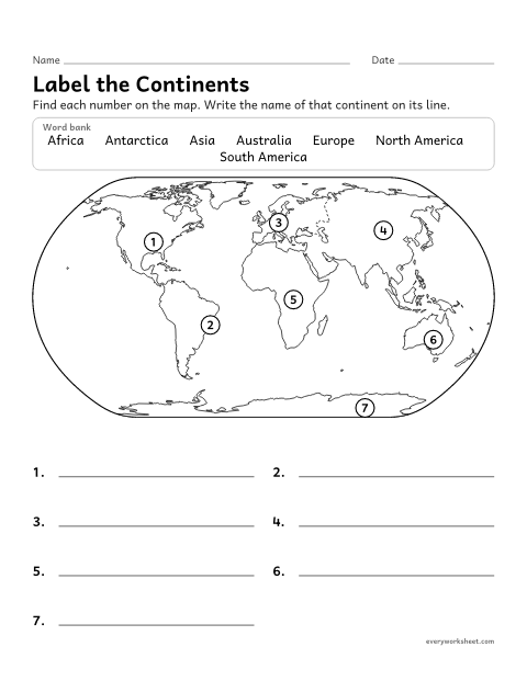
Labeling the 7 continents on a world map
Answer key on page 2
2 pages97 KB
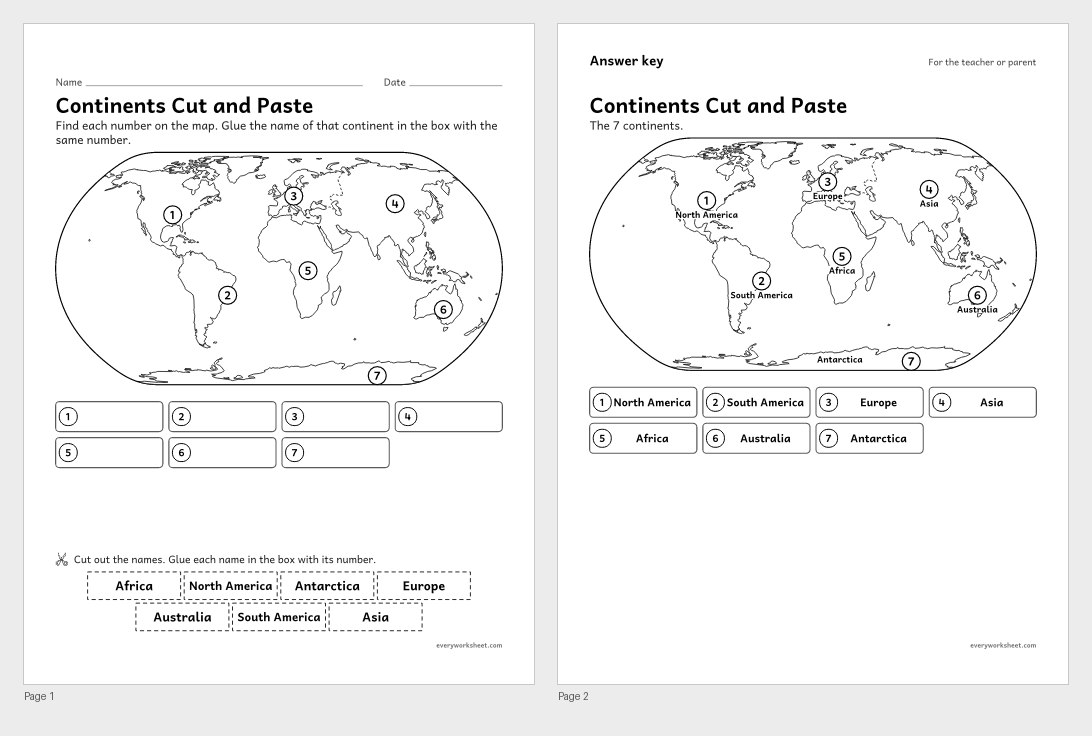 View all 2 pages
Labeling the 7 continents on a world map
Answer key on page 2
2 pages121 KB
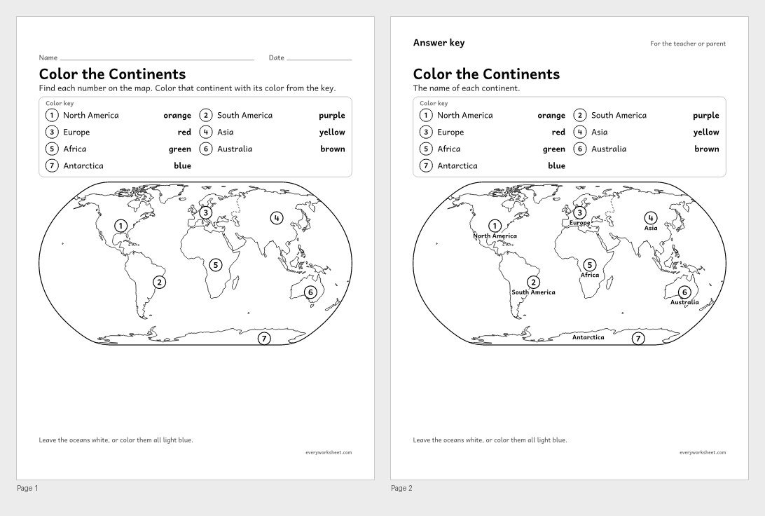 View all 2 pages
Locating the 7 continents on a world map
Answer key on page 2
2 pages102 KB
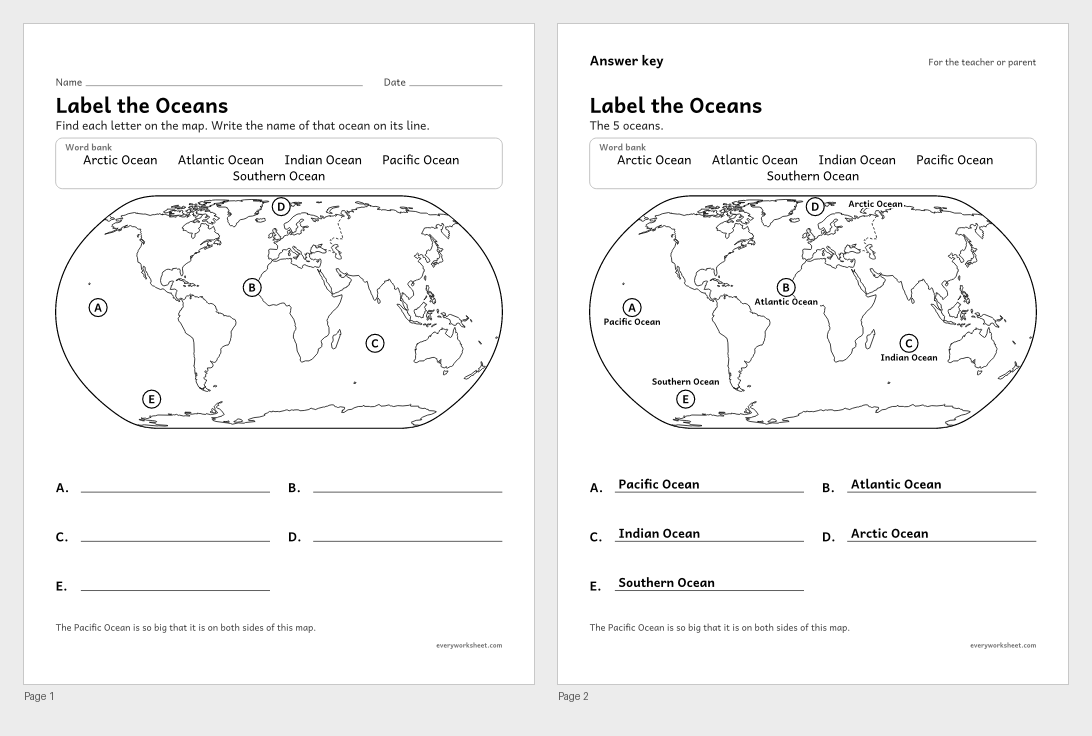 View all 2 pages
Labeling the 5 oceans on a world map
Answer key on page 2
2 pages95 KB
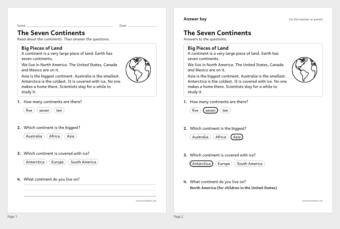 View all 2 pages
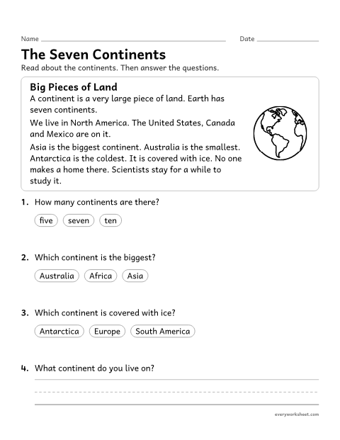
Reading facts about the 7 continents
Answer key on page 2
2 pages60 KB
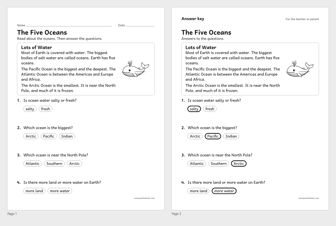 View all 2 pages
Reading facts about the 5 oceans
Answer key on page 2
2 pages51 KB
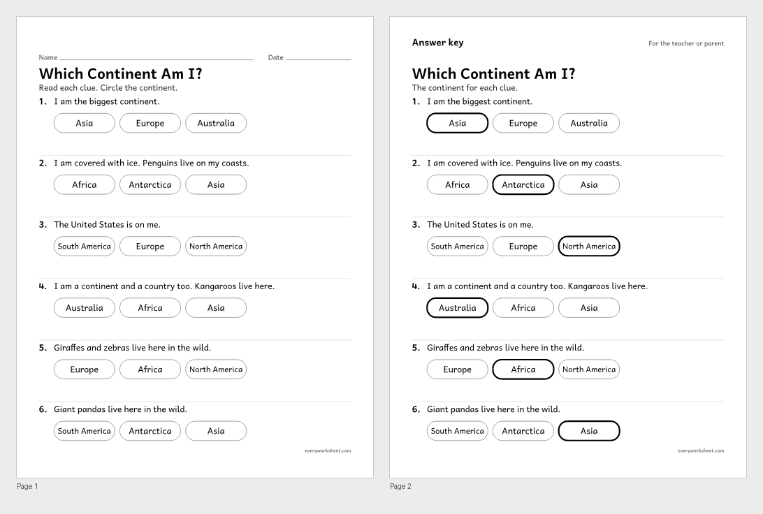 View all 2 pages
Using clues to name continents
Answer key on page 2
2 pages37 KB
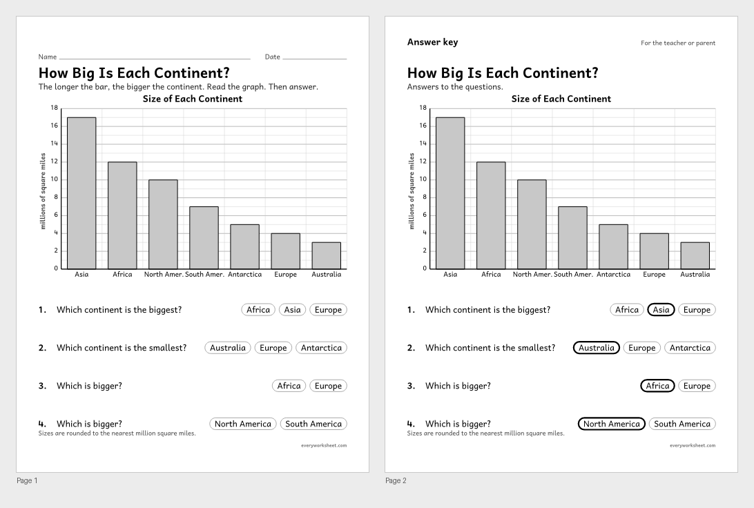 View all 2 pages
Comparing the sizes of the continents on a bar graph
Answer key on page 2
2 pages39 KB
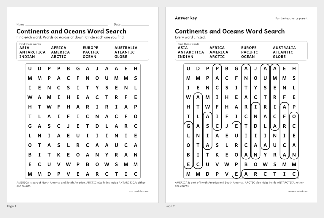 View all 2 pages
Reading and spelling continent and ocean names
Answer key on page 2
2 pages42 KB
Print at 100% (actual size) for the cleanest tracing lines.
Earth has seven continents and five oceans. The continents are North America, South America, Europe, Asia, Africa, Australia and Antarctica. The oceans are the Pacific, Atlantic, Indian, Arctic and Southern Oceans. First graders learn to find each one on a world map and to say which continent they live on.
These continents and oceans worksheets start with a clear world map that names every continent and ocean, with a star on the United States. Children then label the continents and the oceans from a word bank, cut and paste the continent names, and color each continent with its own color.
Two short reading passages, a set of riddles, a bar graph of continent sizes and a word search build on the map work. Every page is black and white, prints on US Letter or A4, and pages with right answers have an answer key on page 2.
C3 D2.Geo.3.K-2Use maps, globes, and other simple geographic models to identify cultural and environmental characteristics of places.C3 D2.Geo.2.K-2Use maps, graphs, photographs, and other representations to describe places and the relationships and interactions that shape them.CCSS.ELA-LITERACY.RI.1.1Ask and answer questions about key details in a text.The continents are North America, South America, Europe, Asia, Africa, Australia and Antarctica. The oceans are the Pacific, Atlantic, Indian, Arctic and Southern Oceans.
Asia is the biggest continent and Australia is the smallest. The Pacific is the biggest ocean and the Arctic is the smallest.
Yes. The kindergarten land and water pages start with the globe and with telling land from water, and include a simple continents and oceans map as a next step.
Yes. Every page with right answers has an answer key on page 2.